


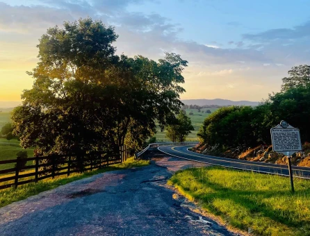
Greenbrier River Trail
Greenbrier County, WV
304-799-4087
Greenbrier County, WV
304-799-4087
One of the TOP 10 hiking trails in the U.S. - Backpacker Magazine
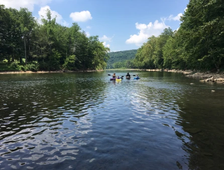
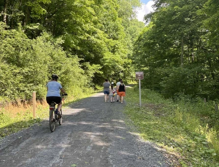
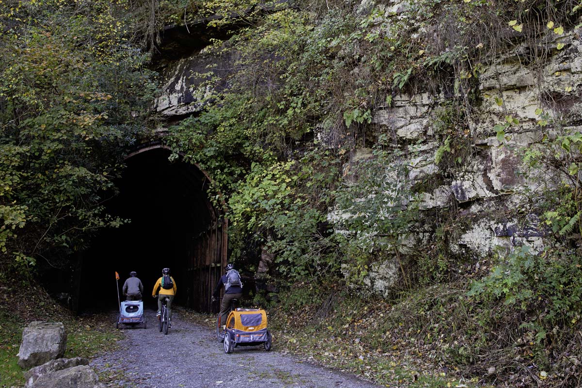
Once a C&O rail line, the Greenbrier River Trail follows 78 miles of the longest free-flowing river in the East. With the river flowing north to south, the trail’s mellow one percent grade and numerous access points make it a great outdoor adventure for most any age.
For a more detailed description along with maps and points of interest, click HERE.
2026 Bridge Redecking Project
The Greenbrier River Trail is undergoing a bridge redecking project for the next two years. The project will begin at the southern end of the Trail, near Caldwell. As work progresses, certain sections of the trail will be inaccessible to users.
July 6, 2026 Notice. The trail section between Buckeye (MM52.18) and Stillwell Park (MM55.06) is closing on July 8 for the bridge re-decking project. From Buckeye (MM52.18) to Seebert (MM45.77) is reopening, but will close again in the near future to complete the bridge.
Stay informed about specific closure dates and affected sections by visiting the Greenbrier River Trail Foundation website.
Fall bike image courtesy of Connie Lilly.
Greenbrier River Trail
Greenbrier County, WV
Want to get connected? Sign up to receive our monthly GBV Insider’s Guide enews, packed with seasonal trip ideas. For a closer look at what’s going on, opt into our Weekly Calendar of Events enews—it’s a 7-day snapshot of the week ahead.